| Note: All photo dates are incorrect due to malfunction of FERC’s digital camera. | ||
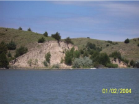 Photo 28. The white line at the base of the hills is the concrete-sack seawalls used for shoreline stabilization. Seawall construction should generally not be permitted under the current license. | 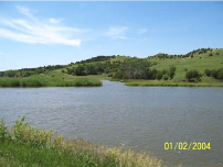 Photo 29. Tri-County (Central) Supply Canal at SR 47 (Hiles Canyon Road), milemarker 41.1 on the Tri-County Supply Canal. Licensee is considering constructing a dike and culverts which would close off the heavily silted-in cove area for construction access from one side of the water to the other. (Photo 1 of 4 of left-to-right panorama.) |  Panorama photo 2 of 4 (left-to-right). |
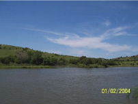 Photo 3 of 4 of left-to-right panorama. |  Photo 4 of 4 of left-to-right panorama. | 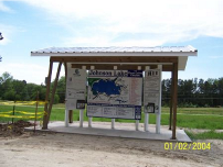 Photo 30. Johnson Lake public education display. |
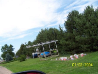 Photo 31. Shore stations, boats, trailers, gardens and vehicles are unpermitted on project lands designated as open space. This example is from the Johnson Lake area. | 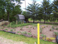 Photo 32. Gardens, purple loosestrife in flowerbeds, sheds, dump piles, abandoned vehicles and equipment, plastic containers, and makeshift structures are all examples of unpermitted encroachments on project lands designated as open space. This example comes from the Johnson Lake area. | 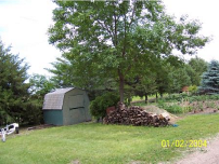 Photo 33. Example of unpermitted large woodpiles, boat trailers, storage structures, and gardens on project lands designated as open space. This example comes from the Johnson Lake area. |
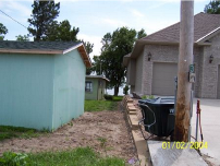 Photo 34. Cantilevered house (new construction) extends over the side lot setback (middle of photo). Small, existing cabin is on left. | 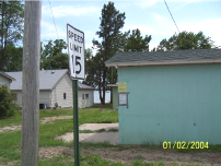 Photo 35. Permit slips displayed on the side of this building, as required by licensee’s permitting procedures, show what construction work is being done. Small, existing cabin is on the left. | 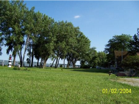 Photo 36. Example of mowing, decorations, lighting, and shoreline encroachments. The actual lots for these homes end approximately at the back patios. This example is from the Merriweather subdivision at Johnson Lake. |
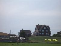 Photo 37. The private roadway to the five cabins on project lands at Midway (west) at the siphonic spillway. The landowners charge rent for access across their land to the five cabins. | 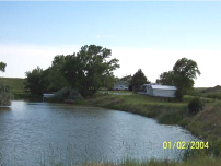 Photo 38. Discovered during the Land and Shoreline Management Plan’s Project Boundary Survey, these five cabins are on project lands, within the Midway Recreation and Wildlife Club, which holds a lease with the licensee. At this time, the cabin renters are trespassers. | 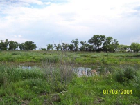 Photo 39. Wetland area at Jeffrey Island. False indigo is being eradicated by goats. |
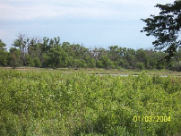 Photo 40. Jeffrey Island. | 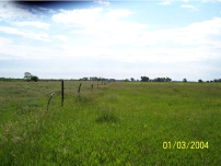 Photo 41. This area of Jeffrey Island has very little musk thistle now, and grasses are beginning to grow. | 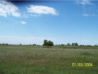 Photo 42. View of the nature of the open grazing area at Jeffrey Island. |
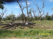 Photo 43. More than 1,800 goats are being used for vegetation management on Jeffrey Island. Two Great Pyrenees dogs guard the herd from predators. | 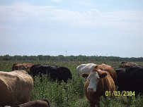 Photo 44. Cattle, more than 300, are being used for musk thistle and other vegetative management on Jeffrey Island. The cows and calves are moved quickly and efficiently using an electric fence corral system. They were on the western side of the island at the time of the inspection. | |
Leave a Reply